Woods Mountain 12,940'
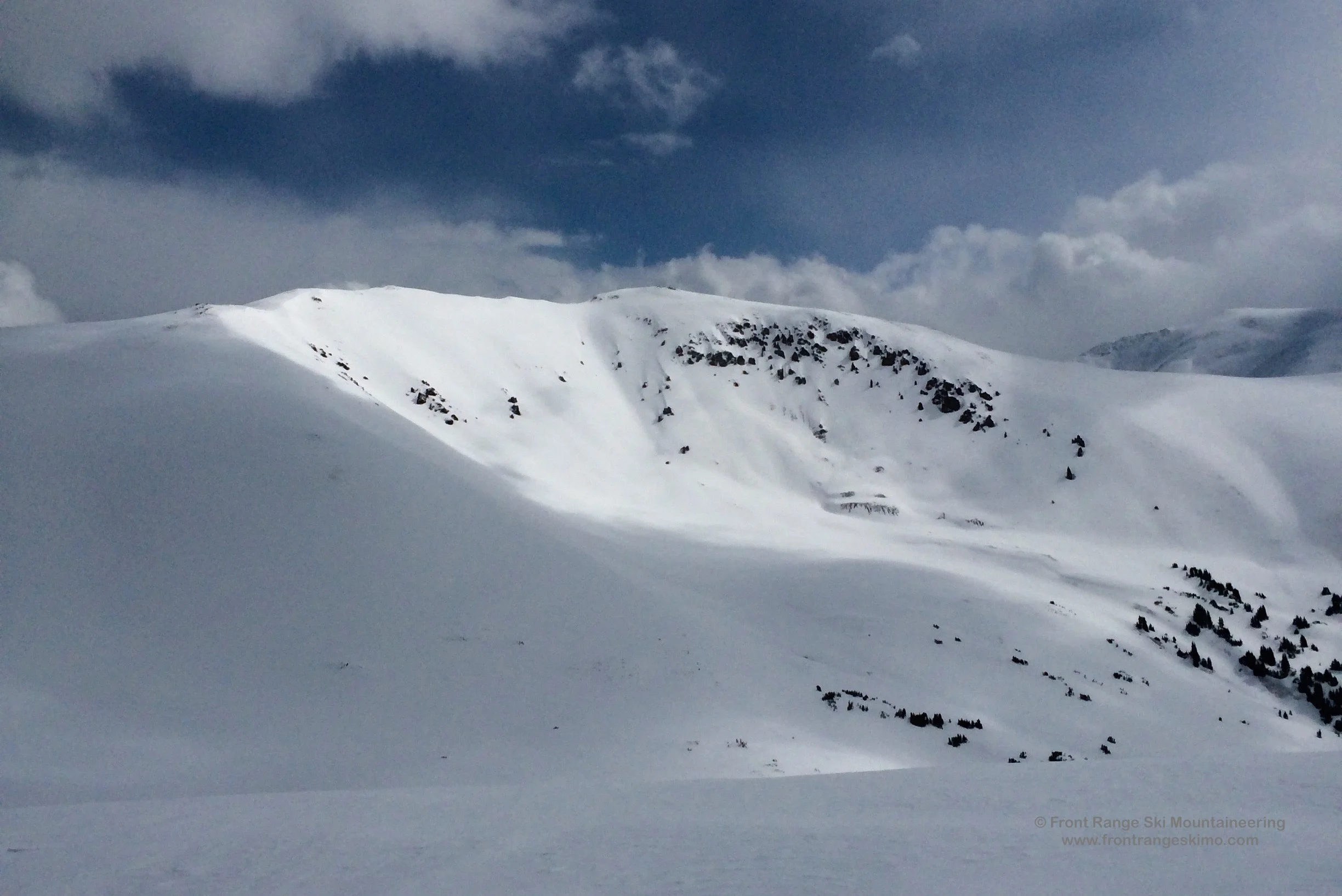
Woods Mountain from the Southwest. Photo: Rob Writz
Woods Mountain is a peak with two distinct personalities. The south side of the peak holds the moderate Watrous Bowl that is easily accessed from the Herman Gulch Trailhead. On the north side of the peak, the Urad Bowl is steeper and drops precipitously to Woods Creek. The mountain is usually windswept and the Watrous and Urad Bowls are the leeward recipients of the snow loading. The Watrous Bowl is a good area to consider for the ski mountaineer who wants to have a quick climb and moderate ski descent with easy access from Interstate 70.
+ ROUTES
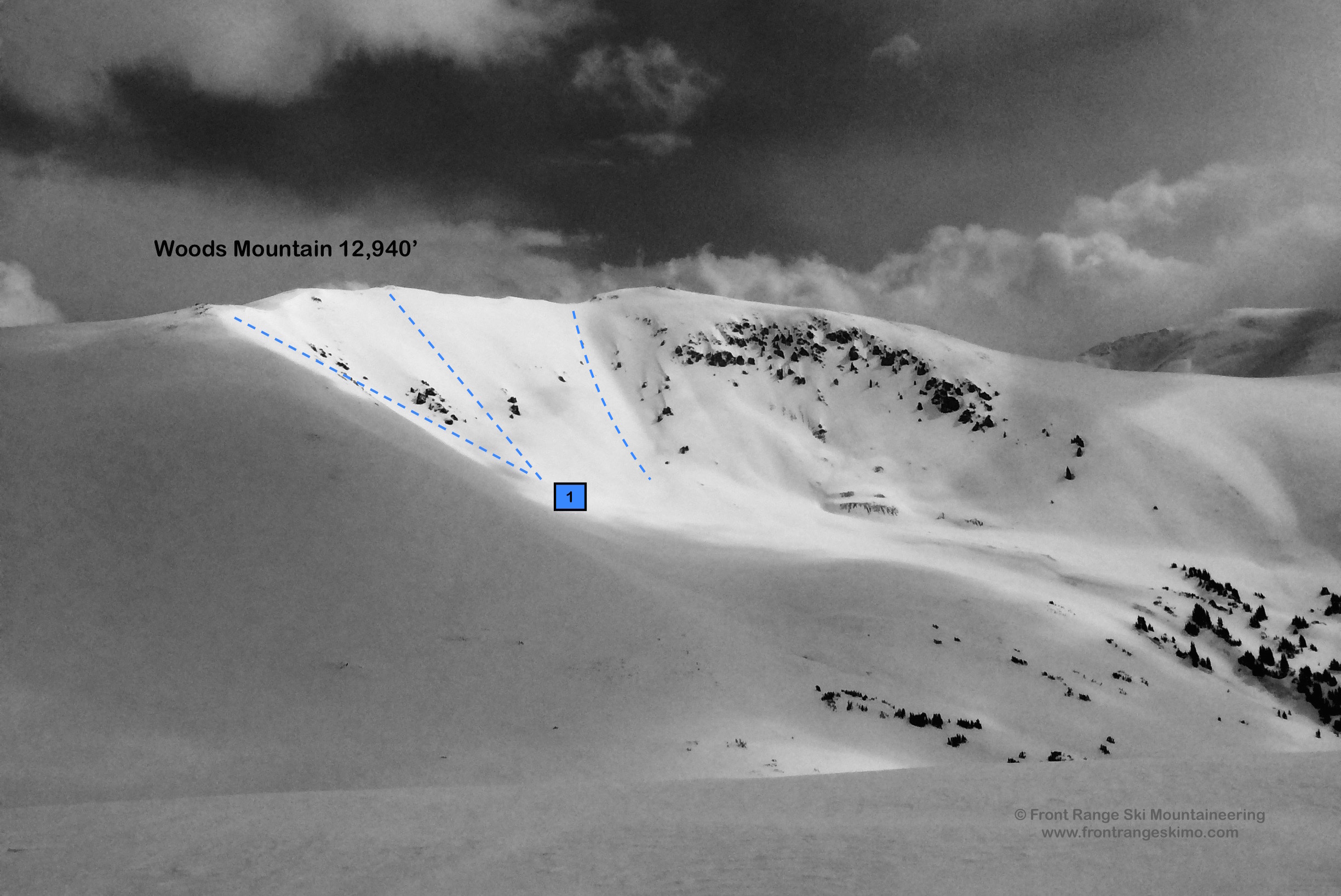
1 – Watrous Bowl
- Rating: II D5
- Season: Spring
- Exposure: South
- Vertical: 1,400’
- Approach Elevations: 10,300’ - 12,940’
- Approach Distance: From Herman Gulch TH: 2.8 Miles
- Top of Route Waypoint: 39.7307, -105.8397
The Watrous Bowl is the South Face of Woods Mountain. This expansive bowl contains several lines to choose from, and all are visible as you approach the peak from Watrous Gulch. One option is to descend directly from the summit into the South Face, otherwise branch out east or west from the summit for the other descent options.
Depart the Herman Gulch Trailhead on the well-defined trail by the information kiosk. Within a few hundred yards the trail splits with the left going to Herman Gulch and the right to Watrous Gulch. The trail to Watrous Gulch is often dry and you may be carrying your skis or snowboard. The trail has been logged extensively due to beetle kill pine, and you get good views to Mount Sniktau and Mount Trelease. The trail climbs about 2 miles to tree line. You will probably encounter snow below this, and Watrous Gulch has easy skinning terrain from snowline to the base of the face. Besides climbing directly up the Watrous Bowl you can easily access the peak via the bowl shared with Mount Machebeuf to the West.
+ TRAILHEAD
Herman Gulch Trailhead (10,300’)
Herman Gulch Trailhead is located on exit 218 on Interstate 70. This is west of Bakersville and east of Loveland Pass. There is a massive parking lot on the north side of the exit with an information kiosk and outhouses. The Herman Gulch trail starts next to the kiosk by the outhouses. [39.7024, -105.8545]
+ MAPS & PICTURES
Below we have included a link to a Google interactive map and a curated list of photos of the mountain.

Clicking on map above will open interactive Google map website